SCRANTON — Wind risk probability data is beginning to trend the potential for storms Tuesday, September 1 through Thursday, September 3 more toward Scranton and northern Pennsylvania, rather than a widespread Upstate New York event, according to the latest StormNet trends.
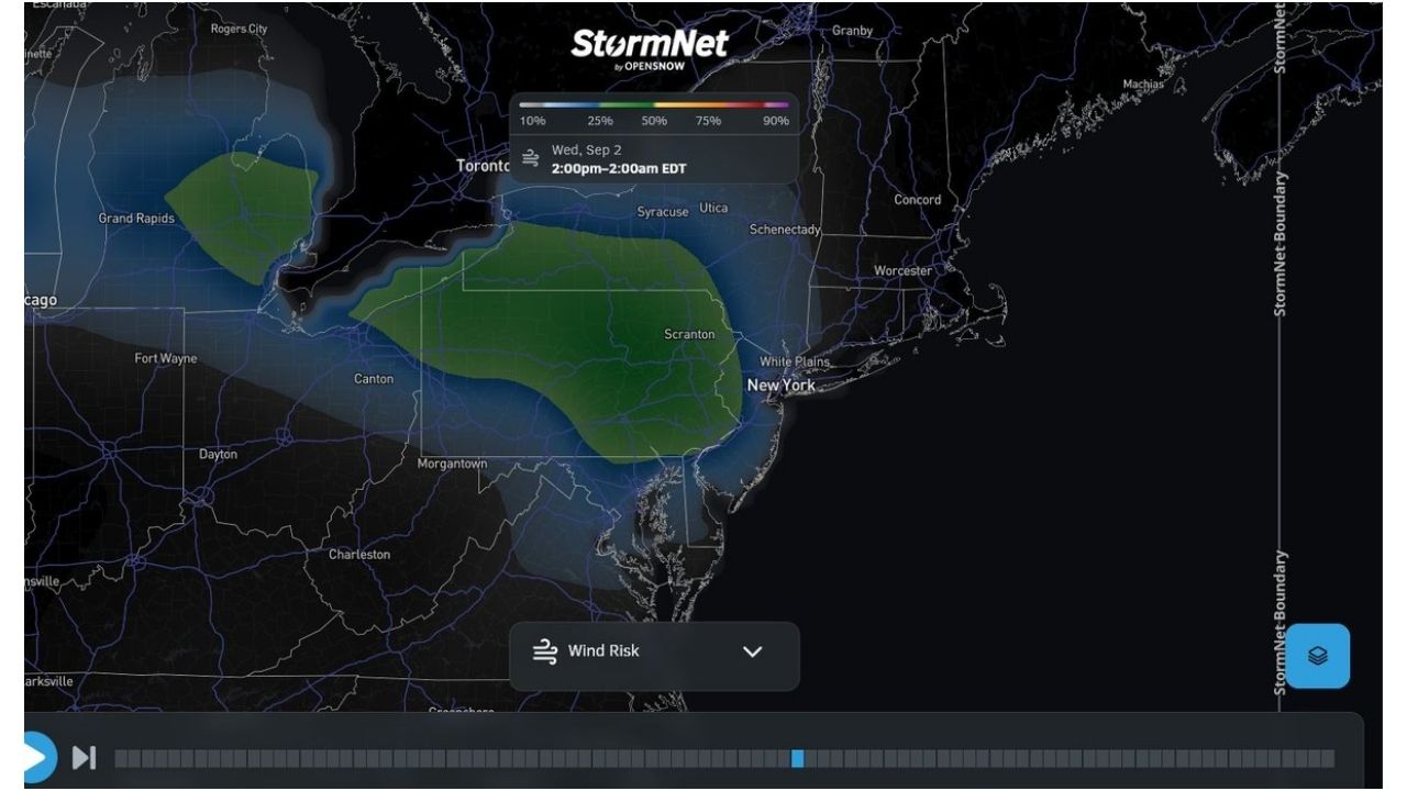
Tuesday’s outlook shows a band of elevated wind risk stretching from areas near Canton into Scranton and toward the New York metro, with probabilities in the 10 to 50% range across the highlighted zone. Syracuse, Utica and Schenectady sit along the northern edge of the risk area but outside the core.
How the Picture Changes Through Midweek
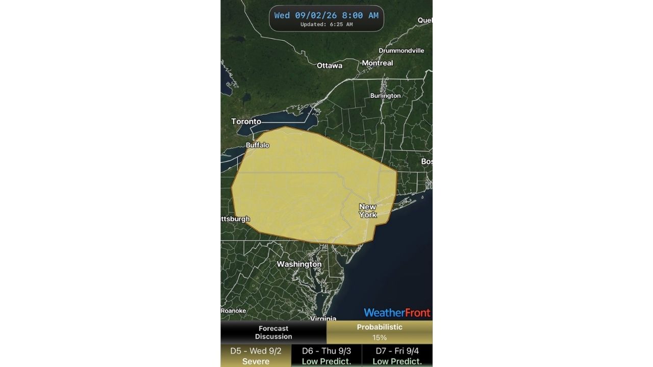
By Wednesday, September 2, the highest-probability zone holds a similar shape but nudges slightly, still centered on Scranton and stretching toward the Jersey Shore and coastal New York and New Jersey. The Thursday, September 3 outlook then shifts the bulk of the risk area south and east, concentrating over New Jersey and pulling closer to the coast while Scranton and Pennsylvania see a reduced signal.
- Tuesday, Sept. 1: Risk centered on Scranton into the NYC metro, 10 to 50% probability
- Wednesday, Sept. 2: Similar footprint, holding near Scranton and pushing toward the coast
- Thursday, Sept. 3: Risk area shifts south into New Jersey, easing over Pennsylvania
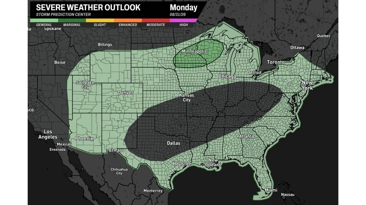
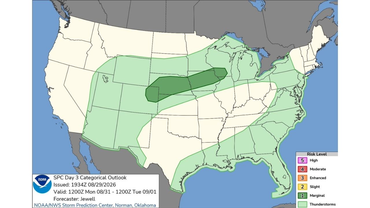
No formal severe weather outlook or watch has been issued yet for any of the three days, and this trend data reflects probability guidance rather than a confirmed risk level. The Storm Prediction Center has not yet extended a Day 4 outlook into this window, though forecasters have indicated slight risk categories are being considered for the Tuesday through Thursday period.
A Pattern Still Taking Shape Ahead of Midweek
With several days still separating now from the Tuesday through Thursday window, confidence in the exact placement and magnitude of any storm threat remains low. The trend so far points toward a western New York into Pennsylvania setup rather than a broad Upstate New York impact, but that picture could still shift as official outlooks are issued.
No storms have developed yet, and no damage or impacts have occurred. This article will be updated as the Storm Prediction Center issues formal outlooks for the Tuesday through Thursday period.
For more coverage like this, check back for the latest severe weather updates.