Skip to content

Home

About Us

Advertisement

Contact Us

  • Facebook
  • X
  • Instagram
  • Pinterest
  • WhatsApp
  • RSS Feed
  • TikTok

Dulaney Griffin

Your Trusted Weather Tracker.

Search

Marginal Severe Storm Risk Targets Northern Plains and Southeast Corridor Friday From North Georgia Into Southeast Virginia

Melissa Peel Avatar
Melissa Peel
August 27, 2026
Marginal Severe Storm Risk Targets Northern Plains and Southeast Corridor Friday From North Georgia Into Southeast Virginia

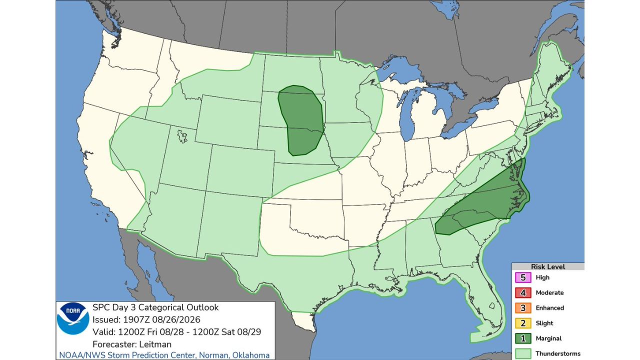
RALEIGH — Forecasters issued a Marginal Risk (Level 1 of 5) outlook for Friday, August 28, covering two separate zones: a stretch of the northern and central Plains and a corridor running from north Georgia through the Carolinas into southeast Virginia. The Storm Prediction Center’s Day 3 Outlook, issued at 2:08 p.m. CDT, is valid from 7 a.m. CDT Friday through 7 a.m. CDT Saturday.

Two Far-Flung Zones Share the Same Risk Level Friday

The Marginal Risk area breaks into two distinct regions on opposite sides of the country. In the northern and central Plains, the zone stretches from the Dakotas down through Nebraska and into Kansas, with a broader area of general thunderstorm potential extending into the upper Midwest. The second zone runs along the Southeast, tracking from north Georgia through the Carolinas and up into southeast Virginia, with general thunderstorm chances extending further along the Eastern Seaboard.

Why a Day 3 Marginal Outlook Still Matters

A Day 3 outlook gives an early look at severe weather potential three days out, well before the finer details of timing and specific hazards come into focus. A Marginal Risk designation means isolated severe storms are possible, not the widespread, organized severe weather implied by higher categories, but it’s still the first formal signal from the Storm Prediction Center that Friday’s setup in these two regions carries enough ingredients to watch. Outlooks like this typically get refined into more detailed Day 2 and Day 1 products as the event draws closer, often narrowing or shifting the highest-risk zones.

Friday’s Threat Is Still Two Days From Taking Shape

This is a Day 3 outlook for a period that hasn’t yet begun, and no specific hazard numbers, watches, or warnings have been issued for either zone. This article will be updated as the Storm Prediction Center refines the outlook over the coming days and as Friday approaches.

Getting Ready Ahead of Friday’s Storm Chances

As Friday approaches:

  • Check back for updated SPC outlooks, Day 3 risk areas often shift as more data comes in
  • Have a way to receive warnings ready regardless of location, in case either zone sees storms strengthen
  • Review your safe room plan, an interior room on the lowest floor, away from windows

If storms develop Friday:

  • Move to shelter immediately if a warning is issued for your area
  • Stay away from windows during any severe thunderstorm or tornado warning

After storms pass:

  • Avoid downed power lines and treat all as live
  • Check for damage before heading outside if storms were confirmed severe nearby

A Coast-to-Coast Setup Still Taking Shape

Friday’s outlook reflects two unrelated weather systems being watched simultaneously, one over the northern Plains, the other along the Southeast coast, both carrying the same early-stage Marginal designation. With two full days remaining before the risk window opens, both zones remain subject to change as the Storm Prediction Center narrows in on the details.

For more coverage like this, check back for the latest severe weather updates.
Featured Articles

  • Twin Slight Risk Zones Explode Across Central Plains and NYC to Boston Corridor Today as Severe Storms Threaten Millions

    Twin Slight Risk Zones Explode Across Central Plains and NYC to Boston Corridor Today as Severe Storms Threaten Millions

    August 27, 2026
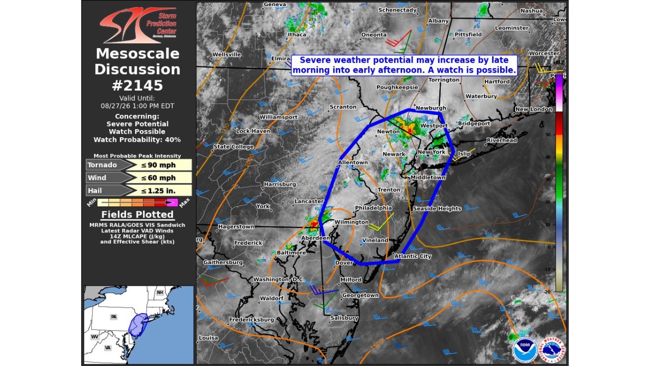
  • 60 MPH Winds and Isolated Tornado Threat Could Trigger Watch Across New York City Metro to Atlantic City by Early Afternoon

    60 MPH Winds and Isolated Tornado Threat Could Trigger Watch Across New York City Metro to Atlantic City by Early Afternoon

    August 27, 2026
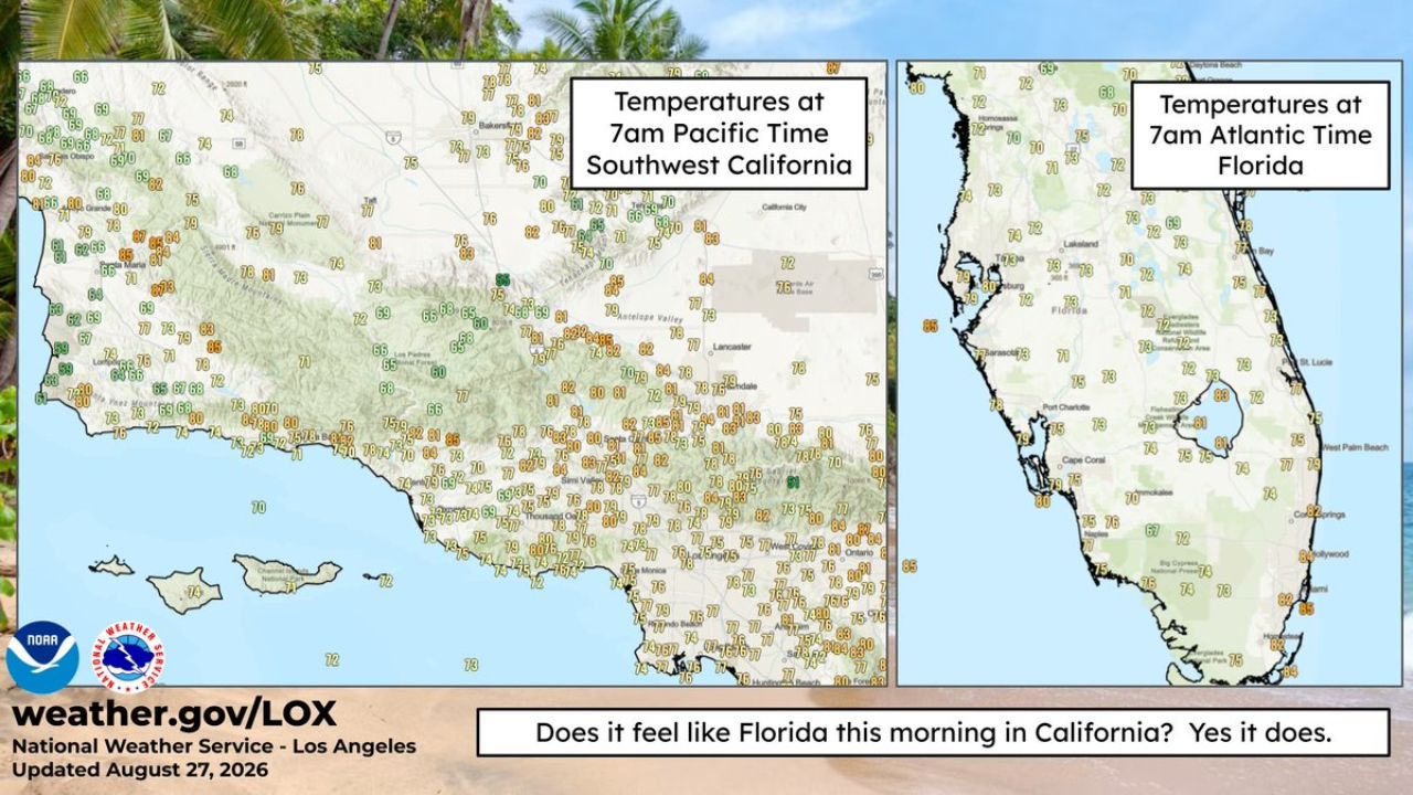
  • Muggy 80 Degree Mornings Blur the Line Between Southern California and Florida as Heat Illness Risk Spikes

    Muggy 80 Degree Mornings Blur the Line Between Southern California and Florida as Heat Illness Risk Spikes

    August 27, 2026
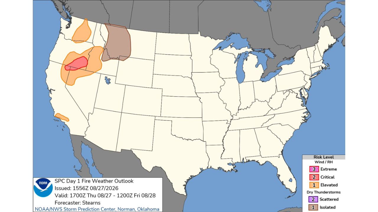
  • Critical Fire Weather Conditions Target Far Northeastern California, Northwestern Nevada Today as Elevated Risk Spreads Into Oregon

    Critical Fire Weather Conditions Target Far Northeastern California, Northwestern Nevada Today as Elevated Risk Spreads Into Oregon

    August 27, 2026
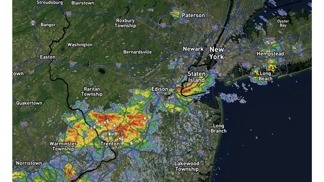
  • Torrential Downpours and Strong Wind Gusts Take Aim at New York City Metro Within Two Hours as Storms Push North From Trenton

    Torrential Downpours and Strong Wind Gusts Take Aim at New York City Metro Within Two Hours as Storms Push North From Trenton

    August 27, 2026

Search

Follow Us on

  • Facebook
  • X
  • Instagram
  • VK
  • Pinterest
  • Last.fm
  • TikTok
  • Telegram
  • WhatsApp
  • RSS Feed

Categories

  • Forecast (50)

About Us

dulaneygriffin

Dulaney Griffin tracks storms, tornado risk, heat and snow across the United States, using National Weather Service and NOAA data. For active warnings in your area, always follow the National Weather Service and your local emergency officials.

Latest Articles

  • Twin Slight Risk Zones Explode Across Central Plains and NYC to Boston Corridor Today as Severe Storms Threaten Millions

    Twin Slight Risk Zones Explode Across Central Plains and NYC to Boston Corridor Today as Severe Storms Threaten Millions

    August 27, 2026
  • 60 MPH Winds and Isolated Tornado Threat Could Trigger Watch Across New York City Metro to Atlantic City by Early Afternoon

    60 MPH Winds and Isolated Tornado Threat Could Trigger Watch Across New York City Metro to Atlantic City by Early Afternoon

    August 27, 2026
  • Muggy 80 Degree Mornings Blur the Line Between Southern California and Florida as Heat Illness Risk Spikes

    Muggy 80 Degree Mornings Blur the Line Between Southern California and Florida as Heat Illness Risk Spikes

    August 27, 2026

Categories

  • Forecast (50)
  • Instagram
  • Facebook
  • LinkedIn
  • X
  • VK
  • TikTok

Proudly Powered by WordPress | JetNews Magazine by CozyThemes.

Scroll to Top