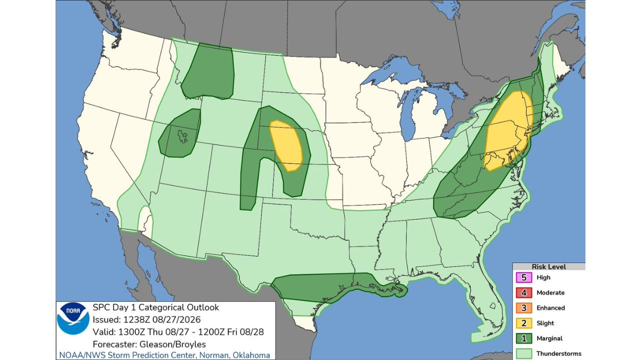
NEW YORK — The Storm Prediction Center’s Day 1 Outlook, issued at 7:40 a.m. CDT, places a Slight Risk (Level 2 of 5) for severe weather over two separated regions today, Thursday, August 27: a zone across the central Plains near the Nebraska-Kansas-Colorado border, and a second corridor stretching from the New York City metro through southern New England toward Boston. The outlook is valid from 1 p.m. CDT Thursday through 7 a.m. CDT Friday.
Two Regions, Two Storm Stories Unfolding at Once
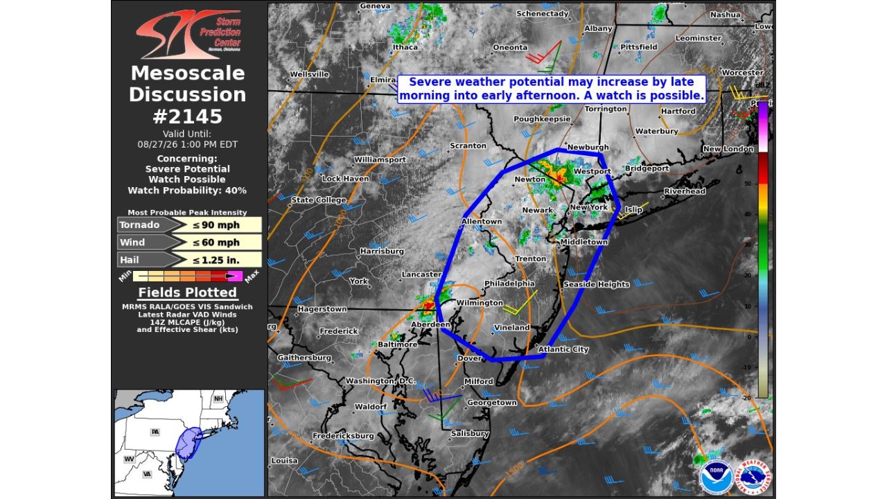
The central Plains Slight Risk zone sits over parts of western Nebraska, northeastern Colorado, and northwestern Kansas, surrounded by a broader Marginal Risk (Level 1) area that stretches from Montana down through Wyoming and into Oklahoma. Meanwhile, the Northeast Slight Risk zone runs from the NYC metro north through Connecticut, Rhode Island, and toward Boston, with a Marginal Risk corridor extending further south through the Mid-Atlantic, including Virginia and West Virginia. A separate Marginal Risk area is also outlined along the Gulf Coast, stretching from Louisiana into the Florida Panhandle.
Why Today’s Slight Risk Carries Real Weight in Two Different Regions
A Slight Risk designation signals that forecasters expect scattered severe thunderstorms are likely, capable of producing damaging winds, large hail, or an isolated tornado, across the highlighted zones. What makes today notable is the sheer footprint: two entirely separate, well-populated regions carry the same elevated risk level simultaneously, meaning both the sparsely populated central Plains and the densely packed Northeast corridor, home to millions of residents from New York City to Boston, are watching the sky for the same reason today.
Storms Haven’t Fired Yet as Thursday Afternoon Gets Underway
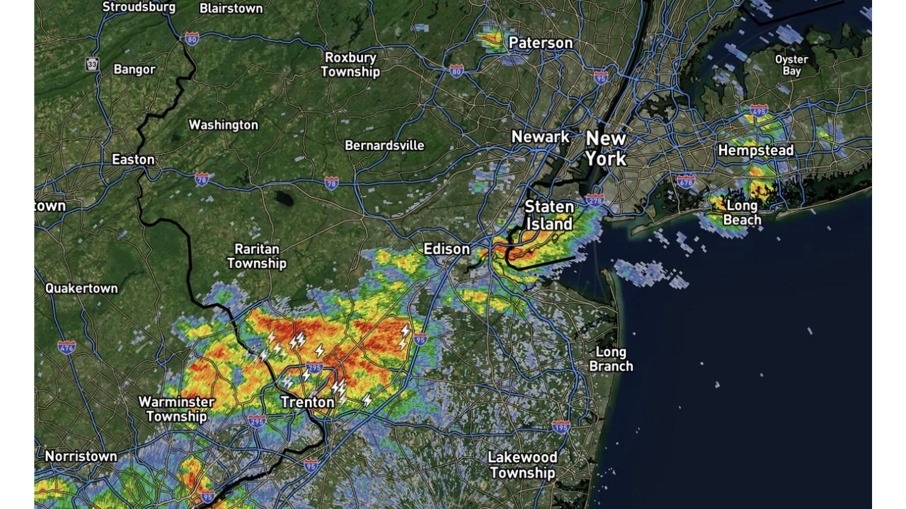
As of this writing, today’s severe weather has not yet developed in either zone, and this outlook reflects forecast risk rather than confirmed storm activity. No damage or storm reports have been confirmed. This article will be updated as storms develop through the afternoon and evening, and if watches or warnings are issued.
Preparing for Severe Weather in Either Risk Zone Today
Before storms arrive:
- Identify your safe room now, an interior room on the lowest floor, away from windows
- Have a way to receive warnings, a weather radio or phone alerts, especially important in the densely populated Northeast zone
- Secure loose outdoor items ahead of potential damaging wind gusts
When a warning is issued:
- Move to shelter immediately if a severe thunderstorm or tornado warning is issued for your location
- Stay away from windows during high wind, hail, or tornado warnings
After storms pass:
- Avoid downed power lines and treat all as live
- Check for damage before heading back outside, especially in the hardest-hit areas
From Sparse Plains to Packed Cities, the Same Risk Level Applies
Today’s setup is a reminder that a single categorical risk level can carry very different stakes depending on where it lands. While the central Plains zone covers a comparatively rural stretch of Nebraska, Colorado, and Kansas, the Northeast zone runs straight through some of the most densely populated real estate in the country, from New York City to Boston, putting millions more people inside today’s Slight Risk footprint.
For more coverage like this, check back for the latest severe weather updates.