Skip to content

Home

About Us

Advertisement

Contact Us

  • Facebook
  • X
  • Instagram
  • Pinterest
  • WhatsApp
  • RSS Feed
  • TikTok

Dulaney Griffin

Your Trusted Weather Tracker.

Search

Invest 97L Targets Gulf Coast With 20% Development Odds as Dolly’s Remnants Linger Near Bahamas at 10%

Melissa Peel Avatar
Melissa Peel
August 30, 2026
Invest 97L Targets Gulf Coast With 20% Development Odds as Dolly’s Remnants Linger Near Bahamas at 10%

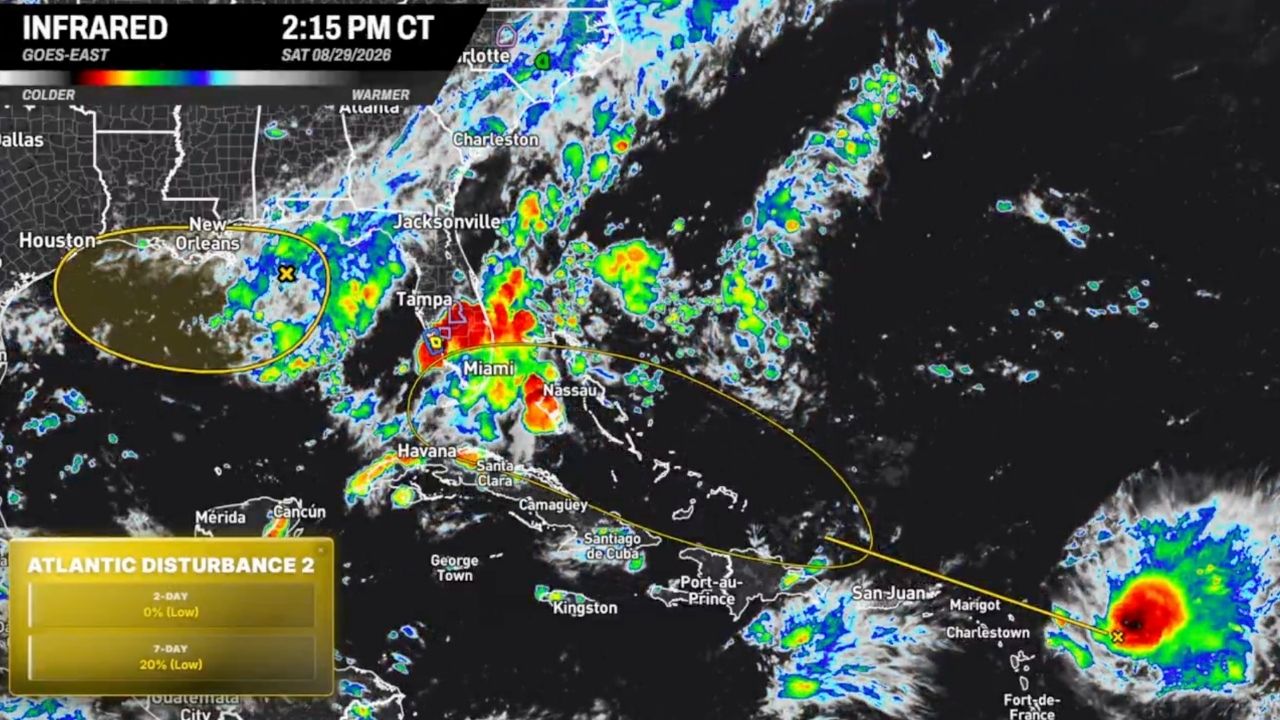
NEW ORLEANS — Two separate areas of interest are being watched across the Atlantic basin, with the northern Gulf’s Invest 97L carrying a 20% chance of tropical development before it reaches the coast within the next day or two.

Satellite imagery captured at 1:35 p.m. CT Saturday shows the disturbance positioned off the coast near Houston and New Orleans, with associated shower and thunderstorm activity stretching toward Tampa and Jacksonville. Forecasters note the system has limited time to organize before any potential landfall, keeping the development odds on the lower end.

Tracking the Second System Near the Bahamas

A separate area of disturbed weather, the remnants of what was once Tropical Storm Dolly, is lingering near the Bahamas and extending toward Cuba and Nassau. This system carries a 10% chance of redevelopment over the next several days as it drifts through the region.

Both areas remain in the low-probability category, meaning organized tropical development is possible but not favored at this time. Infrared satellite data shows scattered convection across both zones, with the most intense activity — shown in red on the imagery — clustered near Miami and the Florida Straits.

No Immediate Threat, But Monitoring Continues

Neither system currently poses an imminent threat to land, and no watches or warnings have been issued. Residents along the Gulf Coast and in Florida should stay aware of updates as both areas of interest are tracked through the holiday weekend.

This article will be updated as new advisories or changes in development chances are issued.

For more coverage like this, check back for the latest severe weather updates.
Featured Articles

  • Scattered Storms Track Across Milwaukee and Northern Illinois Sunday as Wet Pattern Soaks the Ohio Valley

    Scattered Storms Track Across Milwaukee and Northern Illinois Sunday as Wet Pattern Soaks the Ohio Valley

    August 30, 2026
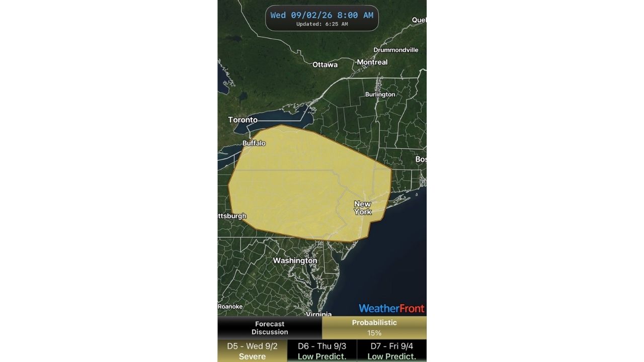
  • Rare Day 5 Severe Outlook Puts Buffalo and New York Under 15% Storm Threat as Multi-Day Setup Builds Through Friday

    Rare Day 5 Severe Outlook Puts Buffalo and New York Under 15% Storm Threat as Multi-Day Setup Builds Through Friday

    August 30, 2026
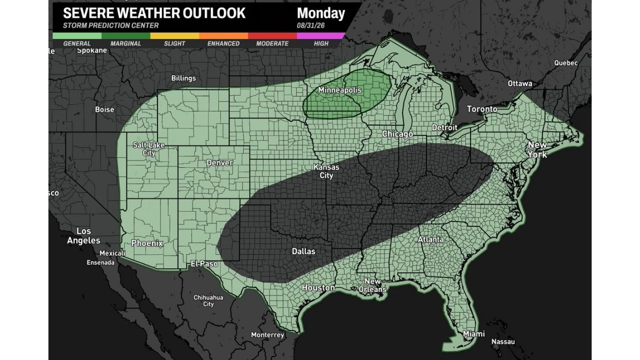
  • Marginal Risk Stretches From Kansas to Michigan and Minnesota as SPC Flags Monday-Tuesday Severe Setup Across the Corn Belt

    Marginal Risk Stretches From Kansas to Michigan and Minnesota as SPC Flags Monday-Tuesday Severe Setup Across the Corn Belt

    August 30, 2026
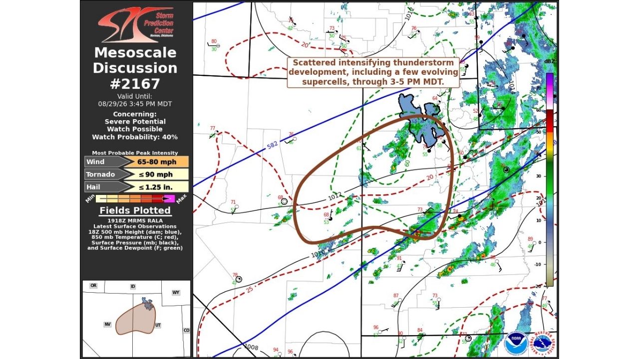
  • Evolving Supercells Threaten 80 MPH Wind Gusts and Golf Ball Hail Across Utah-Nevada Border as Watch Odds Hit 40%

    Evolving Supercells Threaten 80 MPH Wind Gusts and Golf Ball Hail Across Utah-Nevada Border as Watch Odds Hit 40%

    August 30, 2026
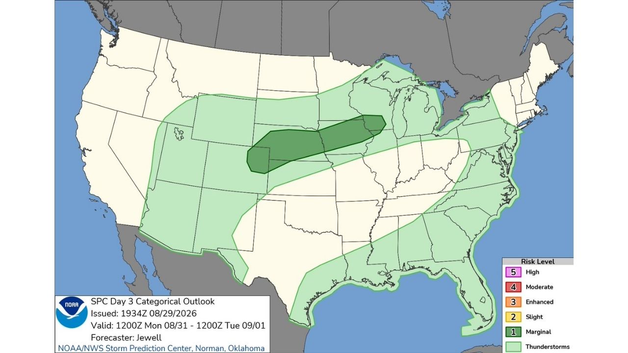
  • Marginal Risk Stretches From Kansas to Michigan as SPC Flags Monday-Tuesday Severe Setup Across the Corn Belt

    Marginal Risk Stretches From Kansas to Michigan as SPC Flags Monday-Tuesday Severe Setup Across the Corn Belt

    August 30, 2026

Search

Follow Us on

  • Facebook
  • X
  • Instagram
  • VK
  • Pinterest
  • Last.fm
  • TikTok
  • Telegram
  • WhatsApp
  • RSS Feed

Categories

  • Forecast (68)

About Us

dulaneygriffin

Dulaney Griffin tracks storms, tornado risk, heat and snow across the United States, using National Weather Service and NOAA data. For active warnings in your area, always follow the National Weather Service and your local emergency officials.

Latest Articles

  • Scattered Storms Track Across Milwaukee and Northern Illinois Sunday as Wet Pattern Soaks the Ohio Valley

    Scattered Storms Track Across Milwaukee and Northern Illinois Sunday as Wet Pattern Soaks the Ohio Valley

    August 30, 2026
  • Rare Day 5 Severe Outlook Puts Buffalo and New York Under 15% Storm Threat as Multi-Day Setup Builds Through Friday

    Rare Day 5 Severe Outlook Puts Buffalo and New York Under 15% Storm Threat as Multi-Day Setup Builds Through Friday

    August 30, 2026
  • Marginal Risk Stretches From Kansas to Michigan and Minnesota as SPC Flags Monday-Tuesday Severe Setup Across the Corn Belt

    Marginal Risk Stretches From Kansas to Michigan and Minnesota as SPC Flags Monday-Tuesday Severe Setup Across the Corn Belt

    August 30, 2026

Categories

  • Forecast (68)
  • Instagram
  • Facebook
  • LinkedIn
  • X
  • VK
  • TikTok

Proudly Powered by WordPress | JetNews Magazine by CozyThemes.

Scroll to Top