Skip to content

Home

About Us

Advertisement

Contact Us

  • Facebook
  • X
  • Instagram
  • Pinterest
  • WhatsApp
  • RSS Feed
  • TikTok

Dulaney Griffin

Your Trusted Weather Tracker.

Search

Fargo, Baton Rouge Face Level 2 Severe Risk Monday as Damaging Wind and Large Hail Threaten 6.9 Million From Nebraska to Louisiana

Melissa Peel Avatar
Melissa Peel
August 24, 2026
Fargo, Baton Rouge Face Level 2 Severe Risk Monday as Damaging Wind and Large Hail Threaten 6.9 Million From Nebraska to Louisiana

FARGO, N.D. — A Level 2 of 5 severe weather risk is in place Monday across parts of Nebraska, North Dakota, and Louisiana, putting roughly 6.9 million people in the threat zone for damaging wind and large hail. Fargo’s hail window runs from 4 p.m. to midnight, peaking near 6 p.m., while Baton Rouge’s wind threat peaks around 3 p.m. this afternoon. A few tornadoes are possible, but that risk covers a much smaller portion of the outlook area.

What the Outlook Covers

  • Highest risk level: Level 2 of 5
  • States included: Nebraska, North Dakota, Louisiana
  • Population at risk: approximately 6.9 million people
  • Fargo hail window: 4 p.m. to midnight, peaking near 6 p.m.
  • Baton Rouge wind window: peaking around 3 p.m.
  • Tornado risk: possible, but limited to a smaller slice of the outlook area

Why a Level 2 Risk Matters

A Level 2 designation means scattered severe storms capable of large hail and damaging wind gusts are expected across the outlook area. This isn’t a widespread, high-end setup, but it’s a step above a marginal risk, meaning isolated to scattered storms could still produce impactful hail or wind damage in the two separate zones being watched today.

Where Things Stand

As of this writing, storms have not yet developed across either threat zone, and no damage or outage reports have been published. This article will be updated if confirmed storm reports become available.

Severe Weather Safety Guide

Before storms arrive:

  • Know your local timing: hail risk peaks near 6 p.m. in Fargo, wind risk peaks near 3 p.m. in Baton Rouge
  • Move vehicles under cover ahead of the hail window
  • Secure loose outdoor items that could become projectiles in strong wind

When a warning is issued:

  • Move away from windows to avoid injury from hail or flying debris
  • Get to an interior room if a tornado warning is issued

After the storm passes:

  • Check for hail damage to vehicles and roofing
  • Avoid downed power lines and treat all as live

For more coverage like this, visit Eye of the Hurricane News for the latest severe weather updates.
Featured Articles

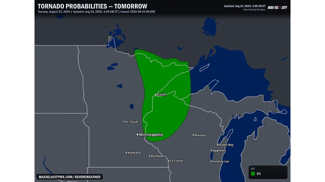
  • Low End Tornado Threat Emerges for Tuesday Across Northern Minnesota as 2 Percent Probability Zone Targets Duluth, St. Cloud

    Low End Tornado Threat Emerges for Tuesday Across Northern Minnesota as 2 Percent Probability Zone Targets Duluth, St. Cloud

    August 24, 2026
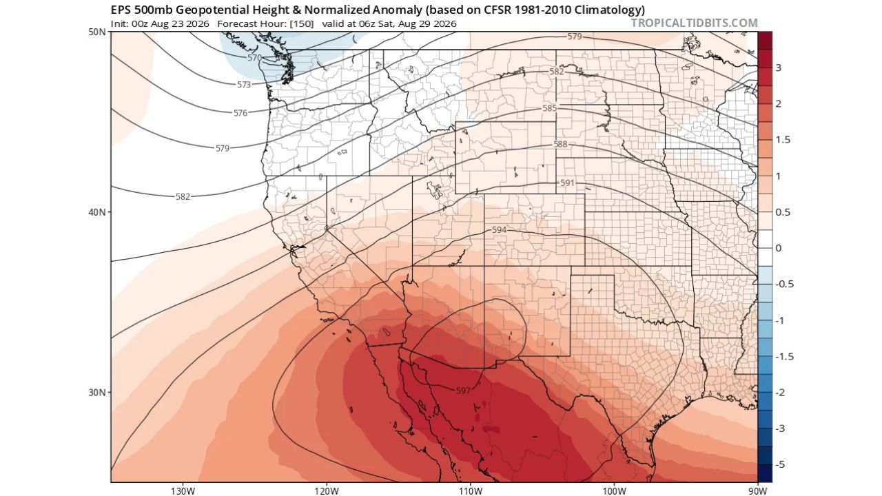
  • Major Heatwave Builds Over Southern California This Week as Forecasters Also Watch Growing Chance of Tropical Storm Remnants in September

    Major Heatwave Builds Over Southern California This Week as Forecasters Also Watch Growing Chance of Tropical Storm Remnants in September

    August 24, 2026
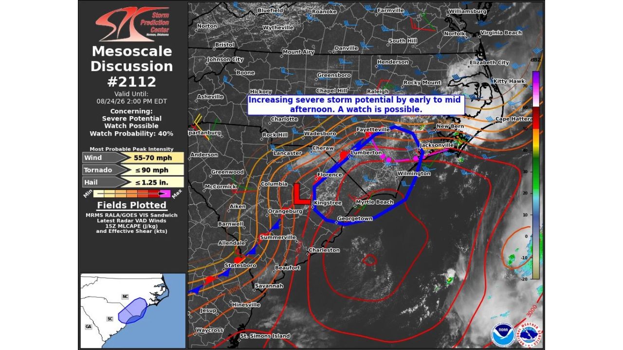
  • 55 to 70 MPH Wind Gusts Possible as Severe Storm Watch Eyed for Fayetteville, Wilmington, Myrtle Beach This Afternoon

    55 to 70 MPH Wind Gusts Possible as Severe Storm Watch Eyed for Fayetteville, Wilmington, Myrtle Beach This Afternoon

    August 24, 2026
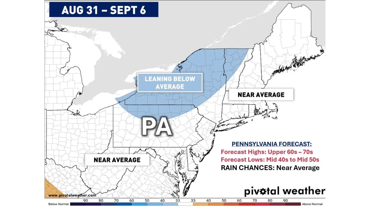
  • Near Average Temperatures, Rain Chances Expected for Pennsylvania and Northeast as Highs Stay in 60s and 70s Through Early September

    Near Average Temperatures, Rain Chances Expected for Pennsylvania and Northeast as Highs Stay in 60s and 70s Through Early September

    August 24, 2026
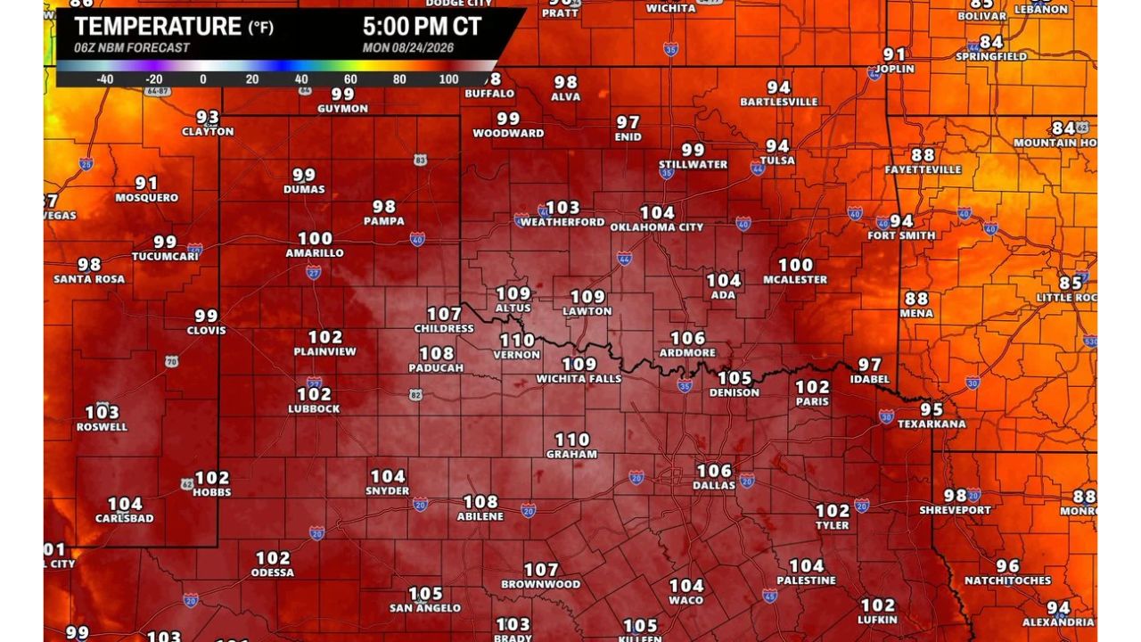
  • Triple Digit Heat Nears 110 Degrees Monday as Dallas, Wichita Falls, Lawton, Oklahoma City Chase Record Highs Across Southern Plains

    Triple Digit Heat Nears 110 Degrees Monday as Dallas, Wichita Falls, Lawton, Oklahoma City Chase Record Highs Across Southern Plains

    August 24, 2026

Search

Follow Us on

  • Facebook
  • X
  • Instagram
  • VK
  • Pinterest
  • Last.fm
  • TikTok
  • Telegram
  • WhatsApp
  • RSS Feed

Categories

  • Forecast (34)

About Us

dulaneygriffin

Dulaney Griffin tracks storms, tornado risk, heat and snow across the United States, using National Weather Service and NOAA data. For active warnings in your area, always follow the National Weather Service and your local emergency officials.

Latest Articles

  • Low End Tornado Threat Emerges for Tuesday Across Northern Minnesota as 2 Percent Probability Zone Targets Duluth, St. Cloud

    Low End Tornado Threat Emerges for Tuesday Across Northern Minnesota as 2 Percent Probability Zone Targets Duluth, St. Cloud

    August 24, 2026
  • Major Heatwave Builds Over Southern California This Week as Forecasters Also Watch Growing Chance of Tropical Storm Remnants in September

    Major Heatwave Builds Over Southern California This Week as Forecasters Also Watch Growing Chance of Tropical Storm Remnants in September

    August 24, 2026
  • 55 to 70 MPH Wind Gusts Possible as Severe Storm Watch Eyed for Fayetteville, Wilmington, Myrtle Beach This Afternoon

    55 to 70 MPH Wind Gusts Possible as Severe Storm Watch Eyed for Fayetteville, Wilmington, Myrtle Beach This Afternoon

    August 24, 2026

Categories

  • Forecast (34)
  • Instagram
  • Facebook
  • LinkedIn
  • X
  • VK
  • TikTok

Proudly Powered by WordPress | JetNews Magazine by CozyThemes.

Scroll to Top