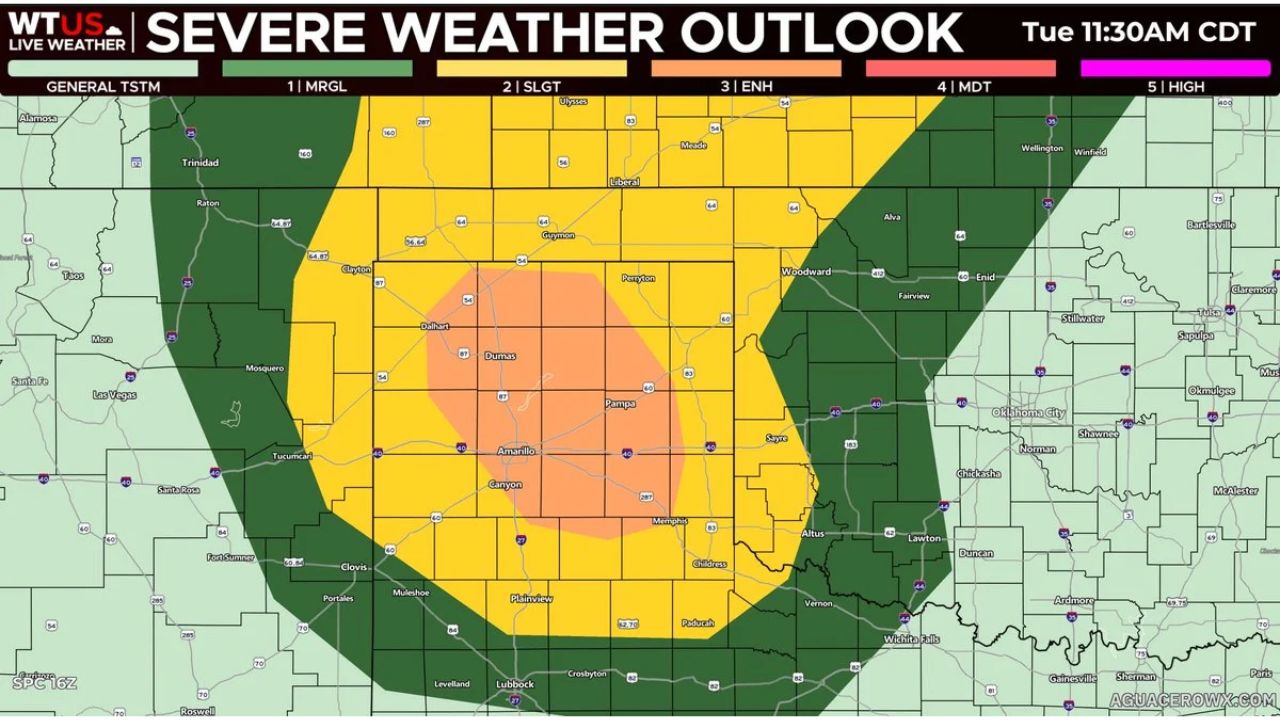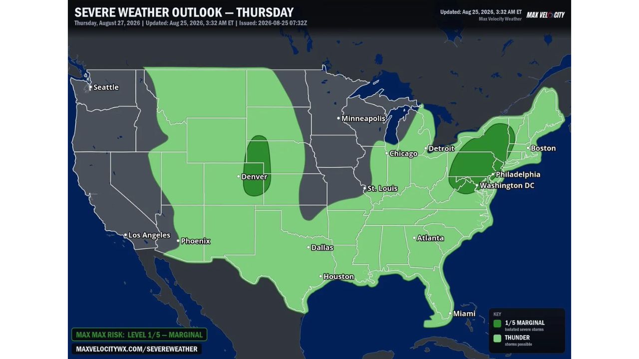
DENVER — A Marginal Risk (Level 1 of 5) for severe weather is in place for Thursday, August 27, covering two separated zones: the Central Plains from eastern Colorado into western Nebraska and southwestern South Dakota, and a Mid-Atlantic to Northeast corridor stretching from central Pennsylvania into eastern New York. Forecasters say the Plains zone carries the sharper threat, with hail of 2 inches or larger and wind gusts exceeding 75 mph possible, while the Northeast sees more isolated, lower-end storms.
What Thursday’s Outlook Covers
- Risk level: Marginal Risk (Level 1 of 5), isolated severe storms possible
- Central Plains threat zone: eastern Colorado into western Nebraska and southwestern South Dakota, near Denver
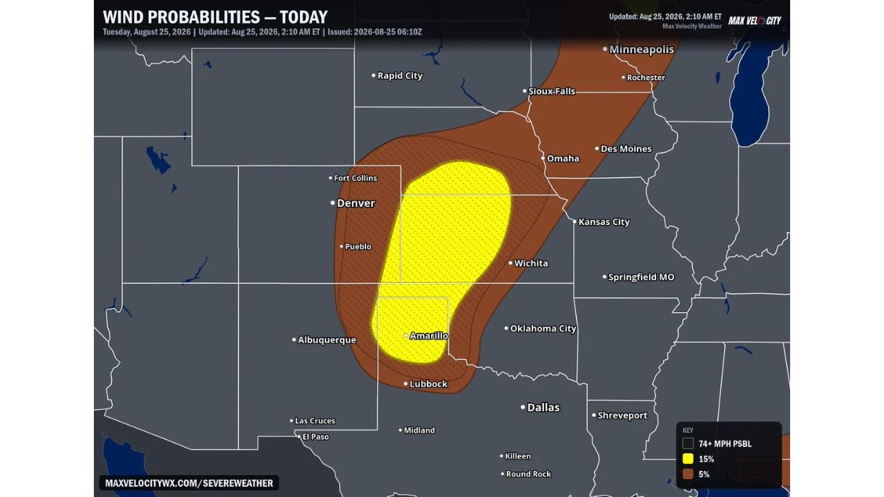
- Central Plains primary threats: hail 2 inches or larger and wind gusts exceeding 75 mph
- Northeast threat zone: central Pennsylvania into eastern New York, near Philadelphia and Washington D.C.
- Northeast primary threats: isolated gusty winds and hail, driven by an approaching cold front
- Broader thunderstorm potential: outlined across a much wider area, including Seattle, Minneapolis, Chicago, St. Louis, Dallas, Atlanta, and Boston
Why This Setup Matters
Thursday’s Marginal Risk reflects two distinct storm drivers working independently of each other. Across the Central Plains, additional strong to severe storms may fire with enough instability to produce significant hail and damaging wind gusts well above the 58 mph severe threshold, the kind of intensity that can cause real property damage despite the overall Marginal designation. Meanwhile, a cold front pushing through the Mid-Atlantic and Northeast will trigger scattered afternoon thunderstorms capable of isolated gusty winds and hail, a lower-end, more localized threat by comparison. Both zones share the same Level 1 risk category, but the Plains storms carry notably higher-end hazard potential.
Where Things Stand
Thursday’s storms have not yet developed as of this writing, and this outlook reflects a forecast risk rather than a confirmed severe weather event. No watches, warnings, or damage reports currently exist for either zone. This article will be updated as the threat develops and if watches or warnings are issued Thursday.
Severe Weather Safety Guide
Before storms arrive Thursday:
- Move vehicles under cover in the Central Plains zone, given the potential for hail 2 inches or larger
- Secure loose outdoor items ahead of gusts that could exceed 75 mph
- Have a way to receive warnings: a weather radio or phone alerts, especially in the Denver area zone
When a warning is issued:
- Move away from windows to avoid injury from hail or flying debris
- Seek sturdy shelter immediately if caught outdoors as storms approach
After storms pass:
- Check for hail damage to vehicles and roofing, particularly in the Central Plains zone
- Avoid downed power lines and treat all as live
Two Regions, One Thursday, Different Storm Stories
Thursday’s setup illustrates how a single Marginal Risk outlook can carry very different implications depending on location. While the Northeast’s storms stem from a routine cold frontal passage producing isolated impacts, the Central Plains’ storms are shaping up with far more potent ingredients, hail approaching baseball size and wind gusts rivaling hurricane force, underscoring that even a Level 1 outlook can carry pockets of serious impact.
For more coverage like this, check back for the latest severe weather updates.